Mitigate Liability.
Justify Your Budget.
We deliver GIS-ready sidewalk and trip hazard inventories to help municipalities prioritize repairs, reduce risk, and secure necessary funding.
Turn Data into Dollars
City councils rarely approve budget increases based on anecdotes. They approve them based on hard evidence.
When municipalities have accurate maps, funding follows. We provide the precise data you need to build a case for your maintenance budget.
The Evidence Advantage
"Councils don't fund problems they can't see. We put the problem on a map, rated by severity, making the funding decision obvious."
Precision Data Collection
We build comprehensive datasets compatible with ArcGIS and CityWorks.
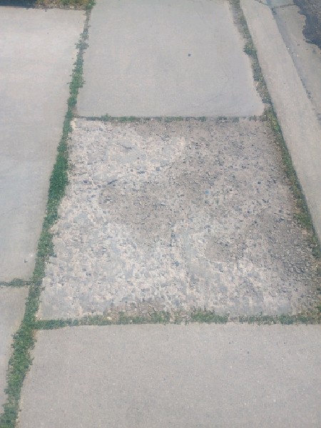
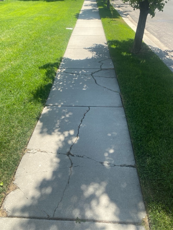
Sidewalk Inventory
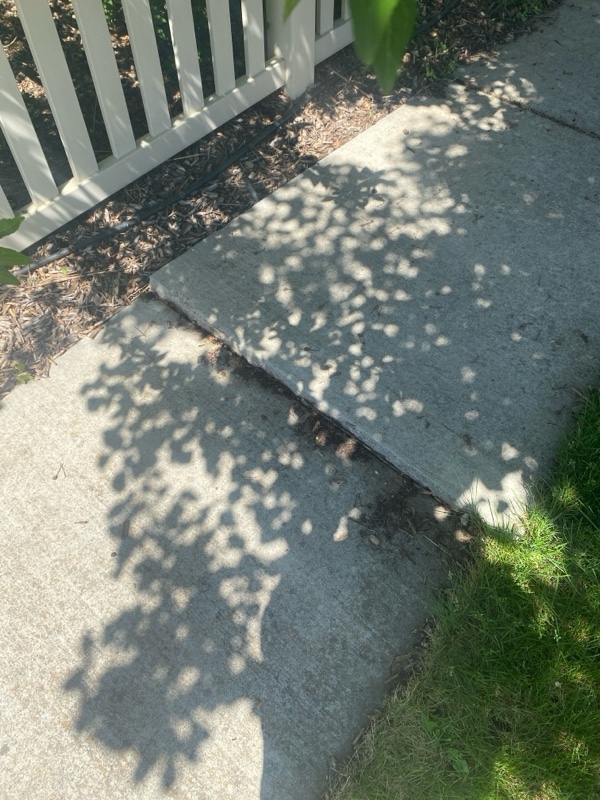
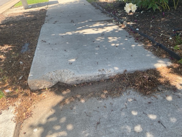
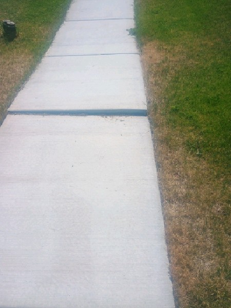
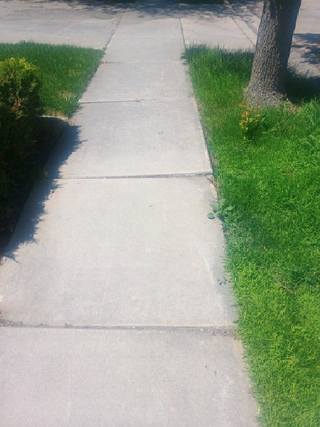
Systematic inspection of every sidewalk mile. We identify trip hazards, spalling, and tree root damage.
- ✓ Precise GPS Coordinates
- ✓ High-Res Photos
- ✓ Severity Grading (1-3)
Asset Collection
Need more than sidewalks? We can inventory signs, hydrants, and meters while we are already in the field.
- ✓ Sign Reflectivity Checks
- ✓ Meter Readings
- ✓ Custom Asset Attributes
Why QJF Consulting?
Most engineering firms send high-cost engineers to do low-complexity data collection. We don't.
We use scalable field teams led by municipal data specialists. This means you get higher quality data—cleaned and formatted for your specific GIS system—without paying for overhead you don't need.
Meet the TeamGIS Ready
We deliver files (CSV, Shapefile) that your IT team can import in minutes.
Start Your Inventory
Don't wait for the next slip-and-fall claim. Get proactive.
Request a Consultation