Data You Can Build A Budget On
Specialized inventory services designed for integration with CityWorks and ArcGIS.
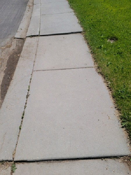
Sidewalk & Trip Hazard Inventory
This is not a drive-by assessment. Our teams walk every mile of your designated grid to identify, photograph, and grade trip hazards and concrete failures.
We provide the evidentiary support you need to defend against liability claims and the quantitative data required to prioritize your maintenance budget effectively.
Key Data Points Collected:
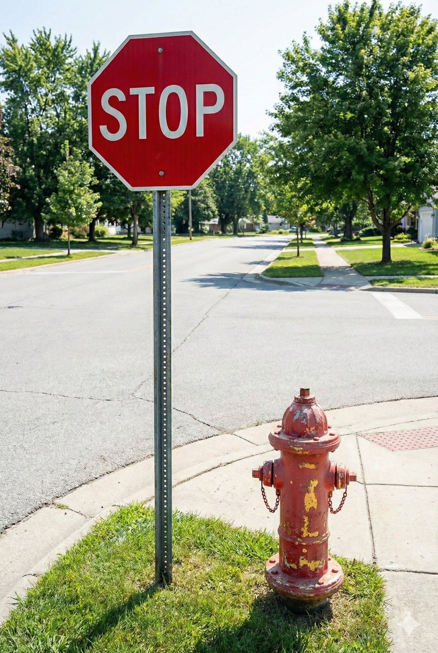
Municipal Asset Collection
Maximize your mobilization costs. Since our teams are already walking your grid, we can simultaneously catalog vertical assets, verifying their location and condition for a fraction of the cost of a separate deployment.
This service is fully customizable based on your current GIS gaps.
Common Assets Tracked:
The "Clean Data" Promise
Most consulting firms dump raw data on your desk. We don't. We use custom Python automation to ensure your files are formatted for immediate use.
Field Collection
Our scalable teams walk the grid, using standardized digital forms to capture consistent data and imagery.
Data Engineering
We run the raw field data through custom cleaning scripts to correct formatting errors and verify GPS accuracy.
GIS Integration
You receive a final CSV or Shapefile ready for direct import into ArcGIS, CityWorks, or asset management software.
Get A Quote for Your City
Tell us the mileage or grid size, and we will provide a detailed estimate.
Request a Consultation